GeoInfoLab
Digital Twin & Smart City: reconstruction, integration, analysis, development, sharing in 3D and 4D
Start-up of Regione Autonoma Della Sardegna
Description
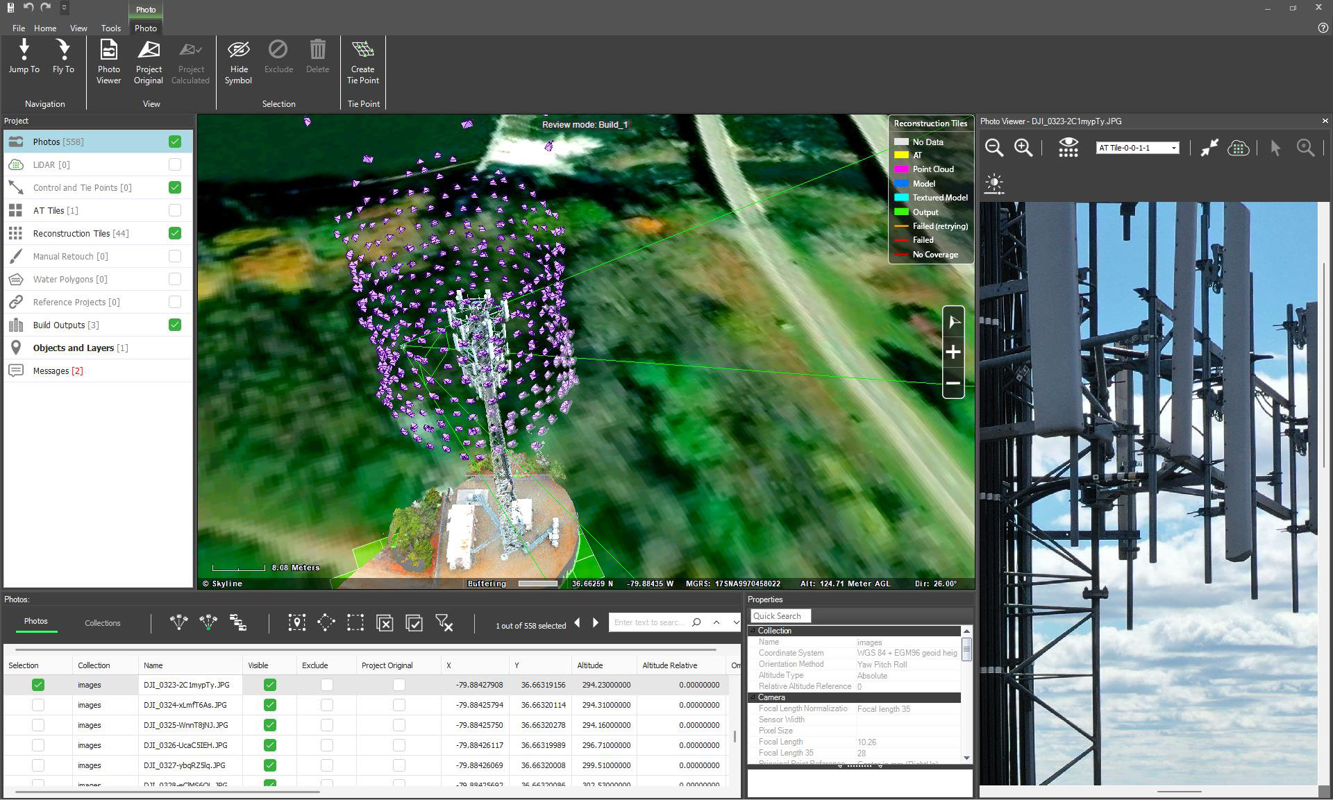
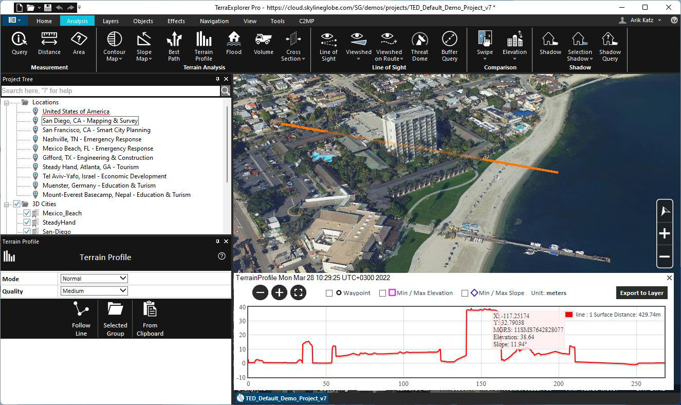
GeoInfoLab is the Italian distributor of Skyline 3D GIS solutions. We offer: automatic reconstruction of point clouds, 3D models and meshes from images, videos, and LiDAR data; classification and visualization of 3D meshes based on alphanumeric attributes; integration of GIS layers, BIM layers, live GPS feeds and audio/video with timespan management; 3D GIS web services.
We develop products and services in various application fields: Digital Twin, Smart & Safe Cities, defense and security, aerospace, networks and transportation, drone inspections, territorial planning and promotion, real estate, underground & underwater, oil & gas, AR & VR, and systems' integration.