Hypermeteo
Booth A48

Hypermeteo

Weather & Climate Intelligence for a more resilient business

Start-up of Regione Lazio

Start-up of LazioInnova

Start-up

Via Nazionale,  181
Roma  (RM) — 00184 — Italia
Phone (+39) 049 9125902

Description

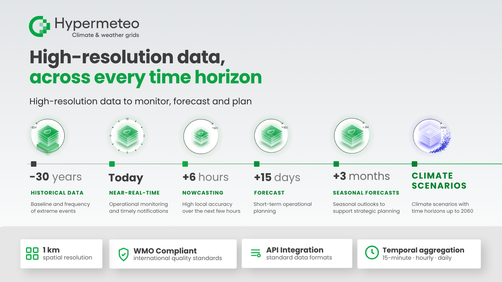
Hypermeteo transforms weather intelligence through proprietary algorithms and artificial intelligence, managing climate risk across three time horizons: nowcasting with notifications on extreme events, continuous data streams for day-to-day operations, indices and scenarios for strategic planning. The company delivers high-resolution datasets, risk indices and meteo-climate scenarios, integrating physical and observational data into a digital grid of virtual weather stations (1 per km²) — certified, WMO-compliant and accessible via API. 
Hypermeteo supports companies and institutions across energy, infrastructure, insurance, finance, and agriculture with immediately actionable insights to anticipate weather and climate impacts, optimise operations and strengthen the climate resilience of networks, assets and critical infrastructure. 
Our products

High-resolution operational weather data

High-resolution operational weather data

Hypermeteo provides high-resolution meteorological datasets to support operational decision-making and weather risk management. Historical, observed, real-time, nowcasting and forecast data are integrated and processed through proprietary algorithms and artificial intelligence, generating location-based information on a digital grid of virtual weather stations with resolution down to 1 km². Continuously updated and compliant with WMO standards, datasets are available via API and can be integrated into corporate systems and decision-making processes. From daily monitoring to extreme weather management, they turn weather data into actionable insights for networks, assets and infrastructure.
High-resolution climate indices and scenarios

High-resolution climate indices and scenarios

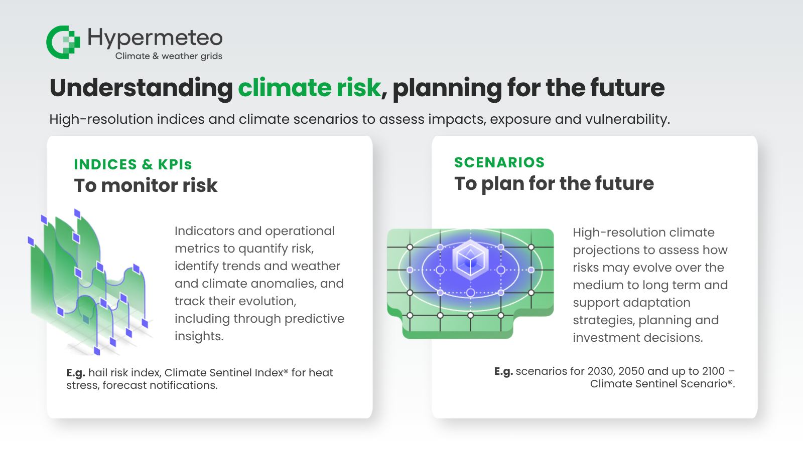
Hypermeteo develops high-resolution climate datasets, risk indices and weather and climate scenarios to support companies and institutions in impact assessment and medium- to long-term planning. By integrating physical and observational data, proprietary algorithms and advanced processing techniques, large volumes of climate information are transformed into location-based indicators for assessing risk, exposure and vulnerability across networks, assets and infrastructure. Also available via API, these datasets enable climate risk to be integrated into decision-making processes, supporting adaptation strategies, investment planning and more resilient infrastructure.

Our video