NETF DRONE
Surveys and industrial inspections from a new perspective
Description
NETF DRONE is a company specialized in surveys, inspections, and monitoring activities using drones in the civil, industrial, and energy sectors. By integrating advanced technologies and techniques—such as LiDAR, aerial photogrammetry, ground-penetrating radar (GPR), artificial intelligence, and interactive 3D models—we provide safe and efficient solutions for data acquisition and analysis, operating in both open and confined spaces.
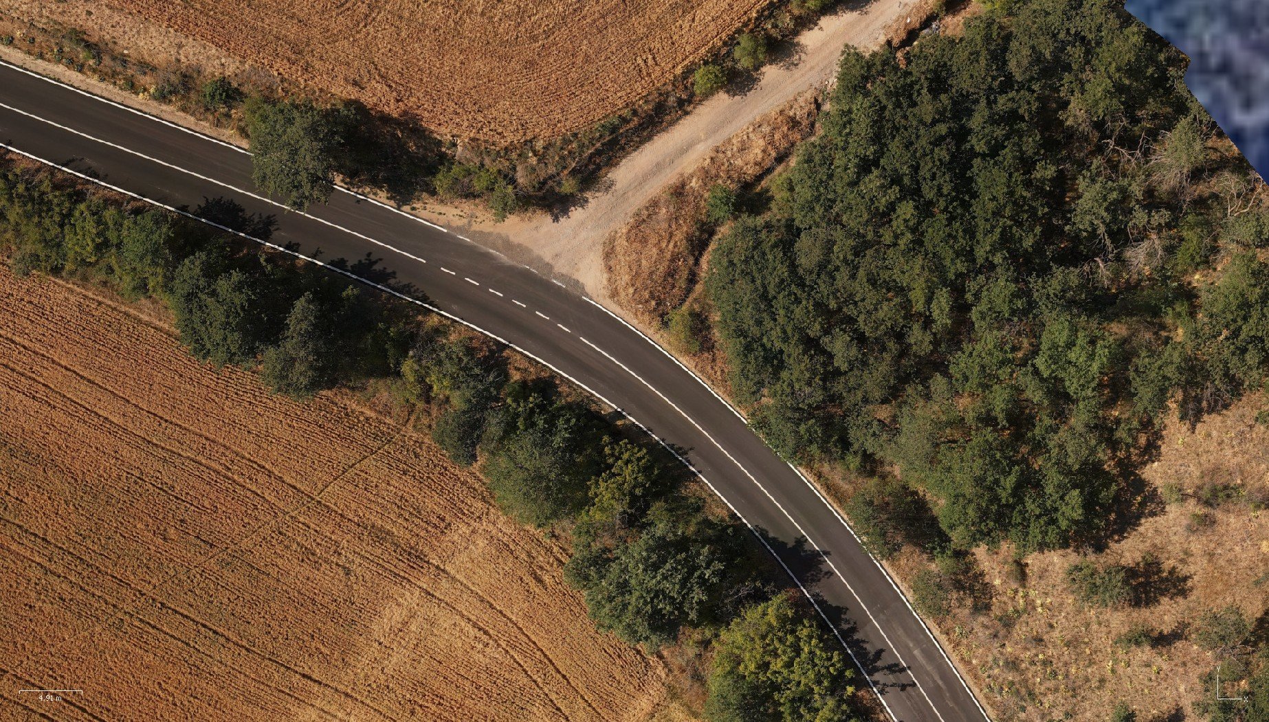
We conduct topographic surveys and territorial mapping, acquiring highly accurate data to support design, land-use planning, and environmental monitoring. For underground utility detection, we employ tools such as GPR and cable locators, ensuring the precise localization of pipelines, cables, and buried infrastructure. Our advanced inspections leverage high-resolution 3D models and artificial intelligence to detect structural damage, corrosion, water infiltration, and other defects in buildings, industrial plants, and critical infrastructure. All data is georeferenced, exportable, and interactive, enabling highly efficient predictive and corrective maintenance approaches.
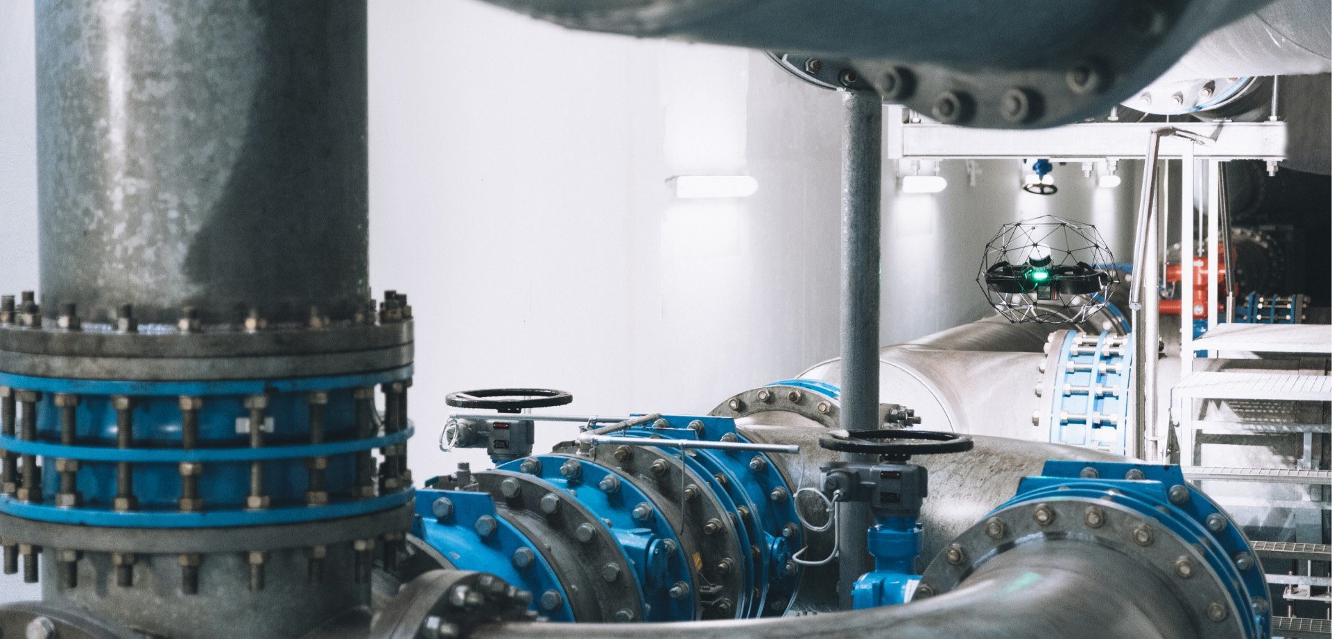
A distinctive aspect of our operations is our ability to work in confined spaces such as tanks, tunnels, pipelines, inspection chambers, and culverts. Thanks to specialized drones, we can access these critical areas without putting operators at risk, performing detailed surveys and inspections while ensuring business continuity.
All acquired data is processed and transformed into digital models within CAD and BIM environments, allowing for advanced and integrated information management.
Our services are aimed at companies in the industrial, engineering, and energy sectors, as well as design firms, public authorities, infrastructure operators, and construction companies. We serve clients requiring detailed topographic surveys, underground utility mapping, structural inspections, and complex plant monitoring, providing advanced digital tools to support strategic decisions and optimize operations.
Our mission is to make survey and inspection activities safer, more efficient, and fully digital, offering cutting-edge technological solutions that optimize asset management, reduce operational risks, and enhance planning processes.