
Avacam | Landslide Monitoring

Avacam | Landslide Monitoring

Keep your eye on the mountains

Recently at SMAU New York 2026

Start-up of ITA - Italian Trade Agency

Start-up

Vicolo Chiodare,  1
Mantova  (MN) — 46100 — Italy
Phone +39 3386073670

Description

Avacam specializes in creating advanced industrial devices which take photos and a photo-monitoring software through which web platform people can remotely monitor landslides and ground instabilities using real-time data.


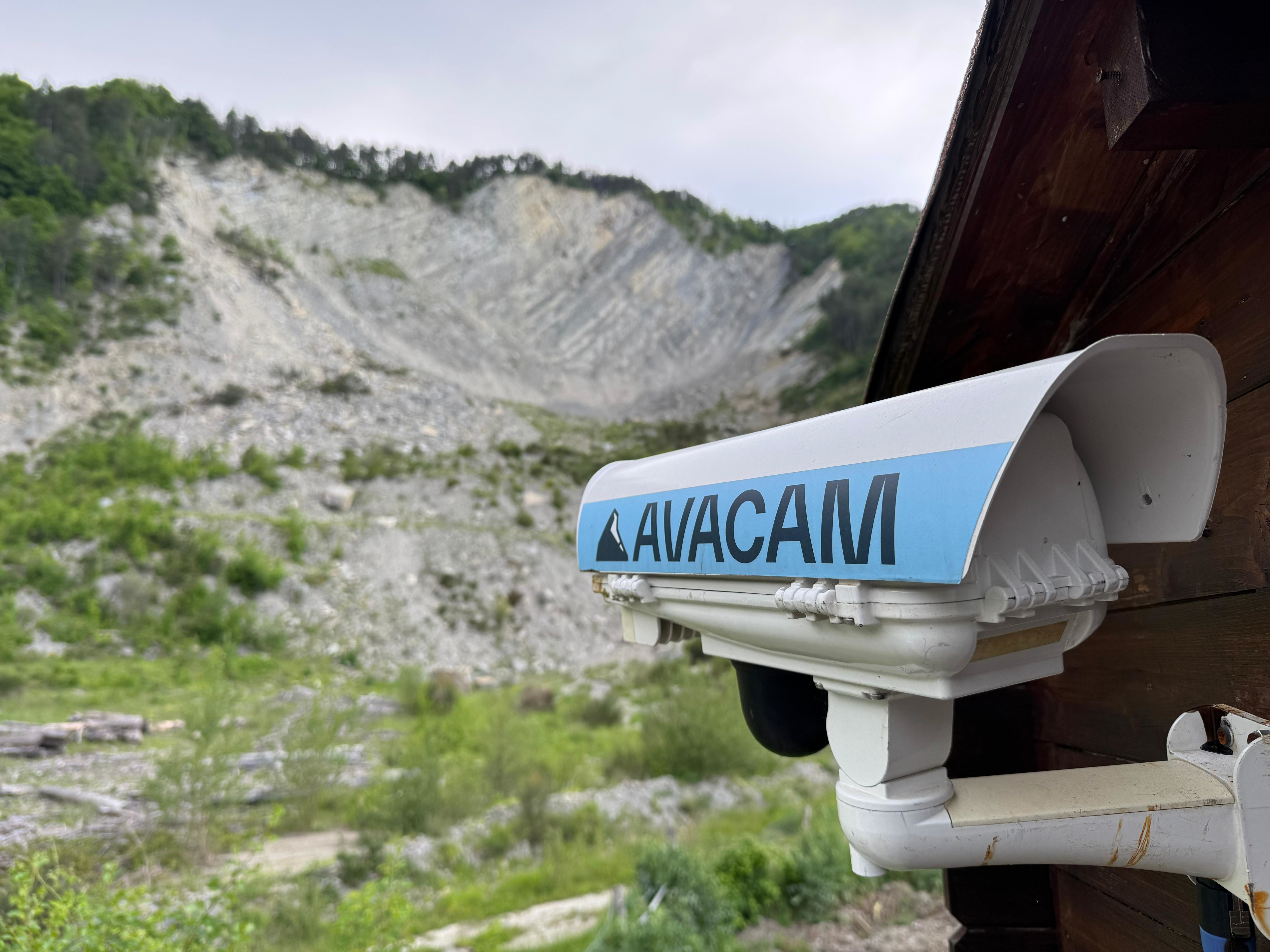
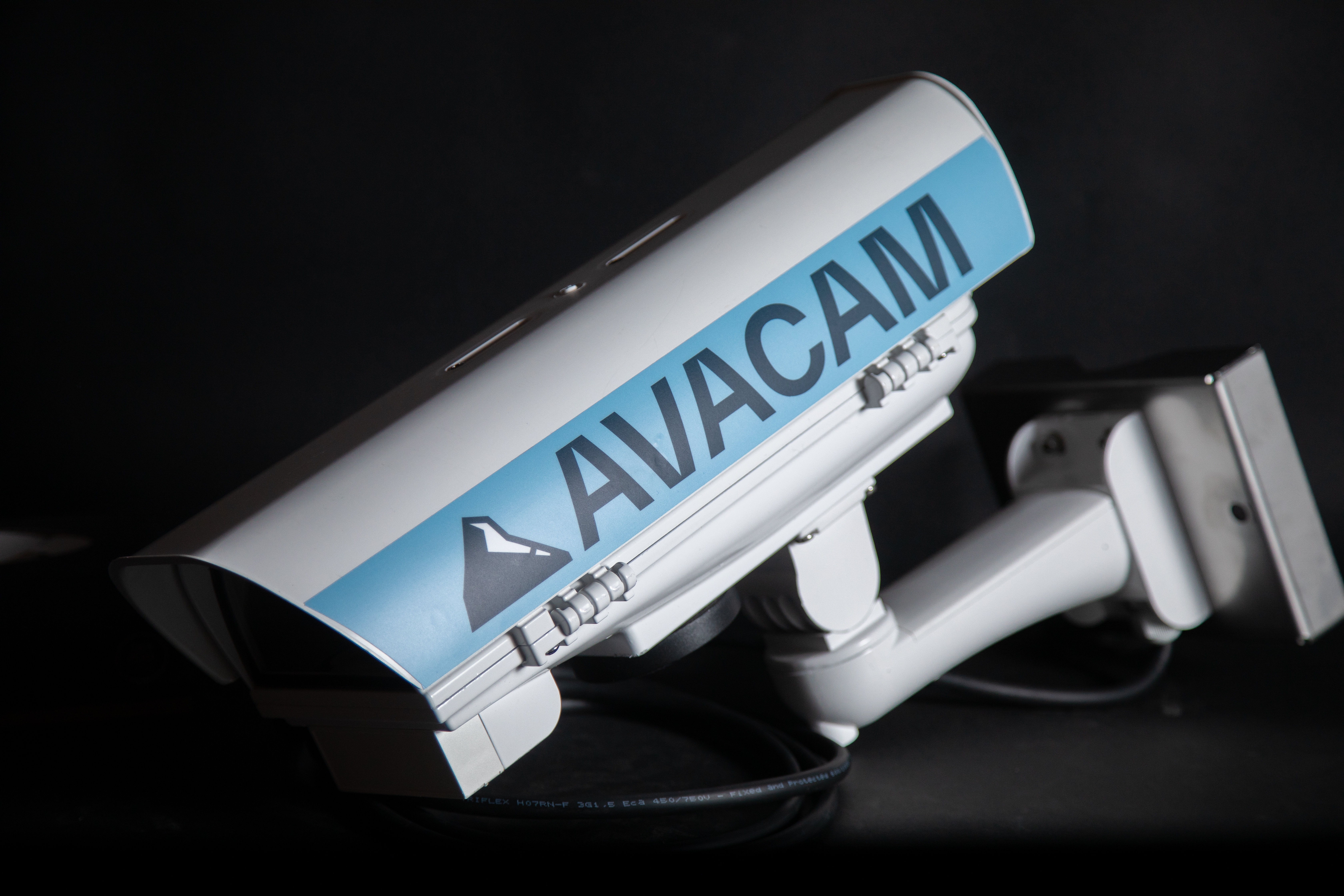
Our devices offer high resolutions and customizable lenses to meet any need. Constructed with aluminum and steel, it ensures durability and installation flexibility, even at high altitudes and to the extreme weather conditions.


PhotoMonitoring is an advanced monitoring technique for the analysis and control of territory and structures. The solution is designed to support monitoring activities, using platforms in order to collect real-time data in order to monitor the stability of a slope or cliff affected by landslide events. Using strategically positioned cameras, the system captures high-resolution images from one or more observation points, allowing for the monitoring of ground movements and mapping changes over time. It is needed for preventing landslides risk, sending automatic alerts to the identified user.
Our products

Avacam | Landslide monitoring with industrial devices and artificial intelligence

Avacam | Landslide monitoring with industrial devices and artificial intelligence

Avacam develops plug & play industrial devices and an AI-based web photo-monitoring platform for the remote monitoring of landslides, ground instability and slope movements. The system captures high-resolution images from strategic observation points, processes them and transforms them into useful data for risk analysis, prevention and management. The platform allows users to view images in real time, compare them in split, overlay and xray modes, generate change maps, displacement maps and time series, as well as set up automatic alerts and customised reports. The GEO T8 devices, made of aluminium and steel, are designed to withstand extreme weather conditions, can also be powered by a solar kit and do not require frequent maintenance. Avacam’s innovation combines continuous monitoring, AI, easy installation and sustainability, supporting public authorities, geologists and companies in protecting the territory.

GEO T8 | Plug & play technology for ground instability monitoring

GEO T8 | Plug & play technology for ground instability monitoring

Avacam’s service includes the supply, installation and management of the GEO T8 plug-and-play industrial device, made of aluminium and steel, equipped with an integrated data SIM and an internal heater to ensure resistance to low mountain temperatures without the need for frequent maintenance. The images are captured in 4K at frequent intervals, for example every 5 or 10 minutes, enabling AI-based monitoring of slope instability phenomena, landslides and scenario changes caused by geological instability, even remotely. If the monitored area includes public spaces or the passage of people and/or vehicles, we can ensure GDPR-compliant privacy protection by blurring people, bodies, licence plates, vehicles and specific areas within the images. The device must be installed in a suitable position to ensure proper visibility of the area being monitored. The web platform, accessible via username and password, allows users to view change maps, displacement maps and displacement time series for points or areas selected by the user. It also enables dynamic selection of time intervals for viewing results, remote real-time image viewing and downloading, and image comparison in split, overlay and xray modes by selecting specific dates and times.

Our video