NETF DRONE
Redefining surveys and inspections with drones, AI, and 3D data
Recentemente a

Descrizione
NETF DRONE è una società specializzata in rilievi, ispezioni e monitoraggi tramite droni nei settori civile, industriale ed energetico. Integrando tecnologie avanzate come LiDAR, fotogrammetria aerea, georadar (GPR), intelligenza artificiale e modellazione 3D interattiva, offriamo soluzioni sicure, efficienti e precise per l’acquisizione e la trasformazione digitale dei dati, operando sia in ambienti aperti che in spazi confinati.
Eseguiamo rilievi topografici e territoriali, acquisendo dati geospaziali ad alta precisione a supporto della progettazione, della pianificazione territoriale e del monitoraggio ambientale. Per la mappatura dei sottoservizi, utilizziamo GPR e cercaservizi per localizzare con precisione tubazioni, cavi e infrastrutture interrate.
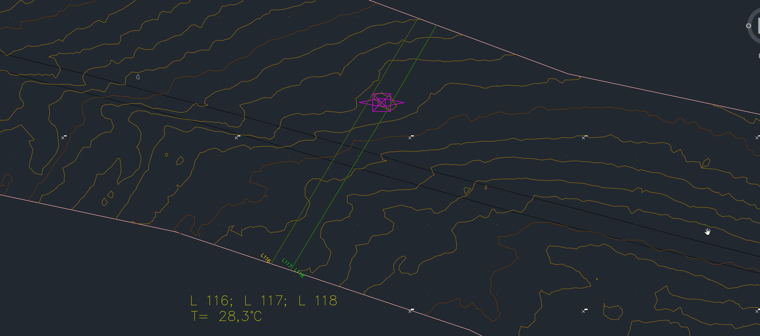
I nostri servizi di ispezione avanzata si basano su modelli 3D ad alta risoluzione e su algoritmi di intelligenza artificiale, che permettono di rilevare danni strutturali, corrosione, infiltrazioni d’acqua e altre anomalie su edifici, impianti industriali e infrastrutture critiche. Tutti i dati sono georeferenziati, esportabili e interattivi, a supporto di attività di manutenzione predittiva e correttiva.
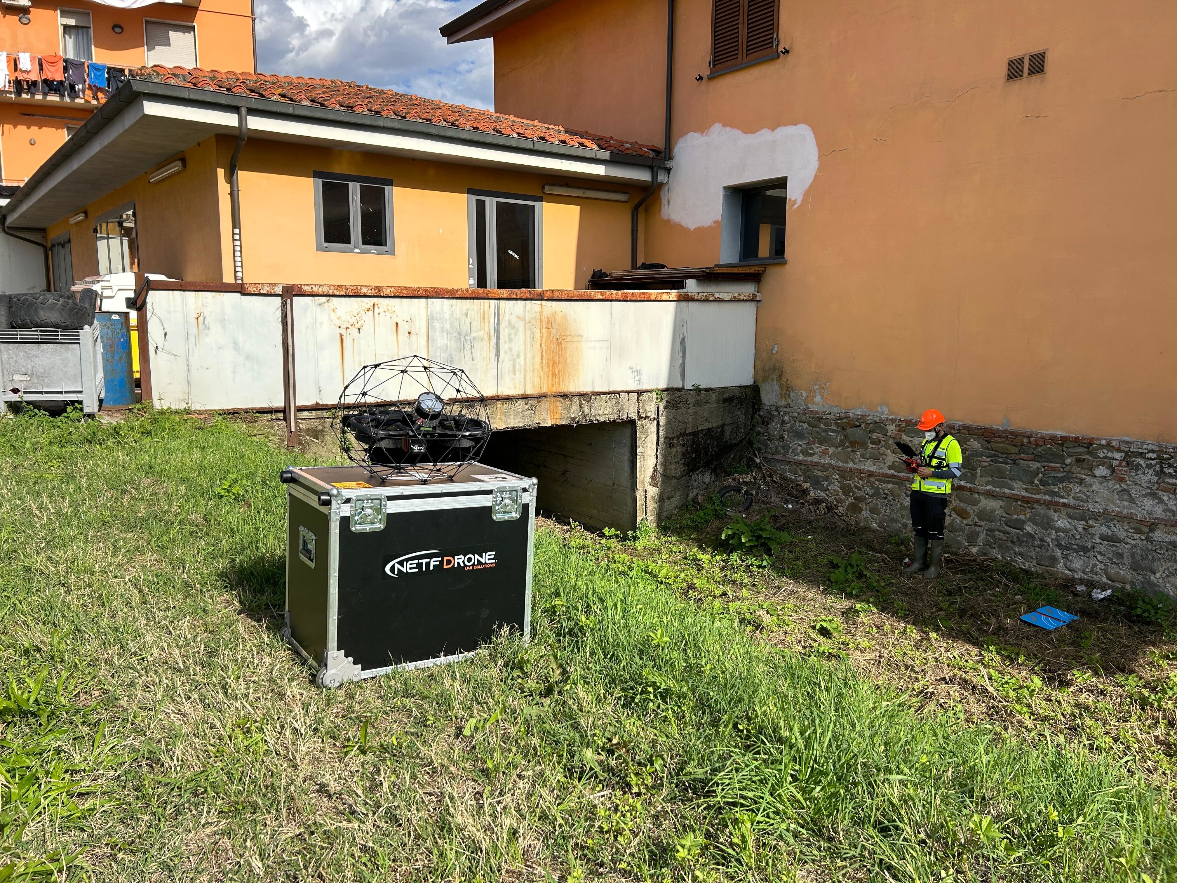
Un elemento distintivo di NETF DRONE è la capacità di operare in ambienti confinati o a rischio come serbatoi, gallerie, condotte, tratti tombati, camere d’ispezione e cunicoli. Grazie a droni specializzati, possiamo accedere in sicurezza a queste aree senza esporre gli operatori al pericolo e senza interrompere le attività operative, garantendo continuità e controllo.
Tutti i dati acquisiti vengono elaborati in modelli digitali 3D ad alta precisione, che possono essere:
-integrati in ambienti GIS e CAD per l’analisi geometrica e la validazione progettuale
-utilizzati in workflow BIM per la pianificazione, il coordinamento e la conformità normativa
-trasformati in Digital Twin per ispezioni da remoto, monitoraggio delle condizioni e manutenzione predittiva nel tempo
I nostri servizi si rivolgono a:
-studi di ingegneria, società di progettazione e imprese di costruzione
-gestori di infrastrutture, operatori energetici ed enti pubblici
-aziende industriali che necessitano di ispezioni e rilievi ad alta precisione dei propri product plant per rilevare le anomalie oppure per effetture il re-layout delle linee produttive o degli impianti generali.
La nostra missione è rendere le attività di rilievo e ispezione più sicure, più rapide e completamente digitali, offrendo soluzioni tecnologiche avanzate per ottimizzare la gestione degli asset, ridurre i rischi operativi e potenziare i processi decisionali e di pianificazione.